AWARD YEAR
2021
CATEGORY
Community
GOALS
Good Health & Well-being, Sustainable Cities & Communities
KEYWORDS
covid-19, coronavirus, digital mapping , epidemic response, public health
COUNTRY
United States of America
DESIGNED BY
Facebook Data for Good
WEBSITE
https://dataforgood.fb.com/tools/disease-prevention-maps/
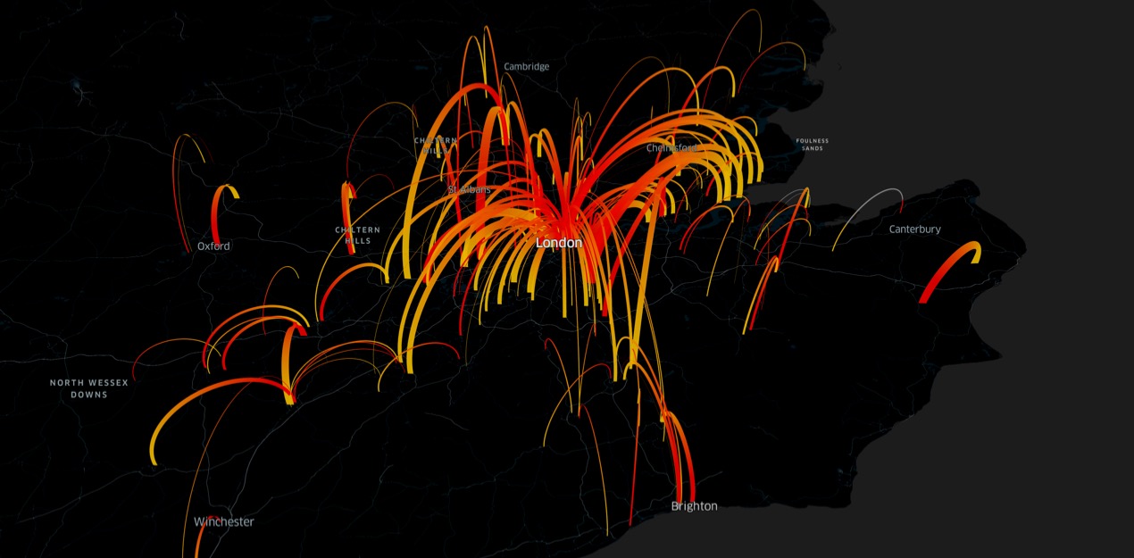
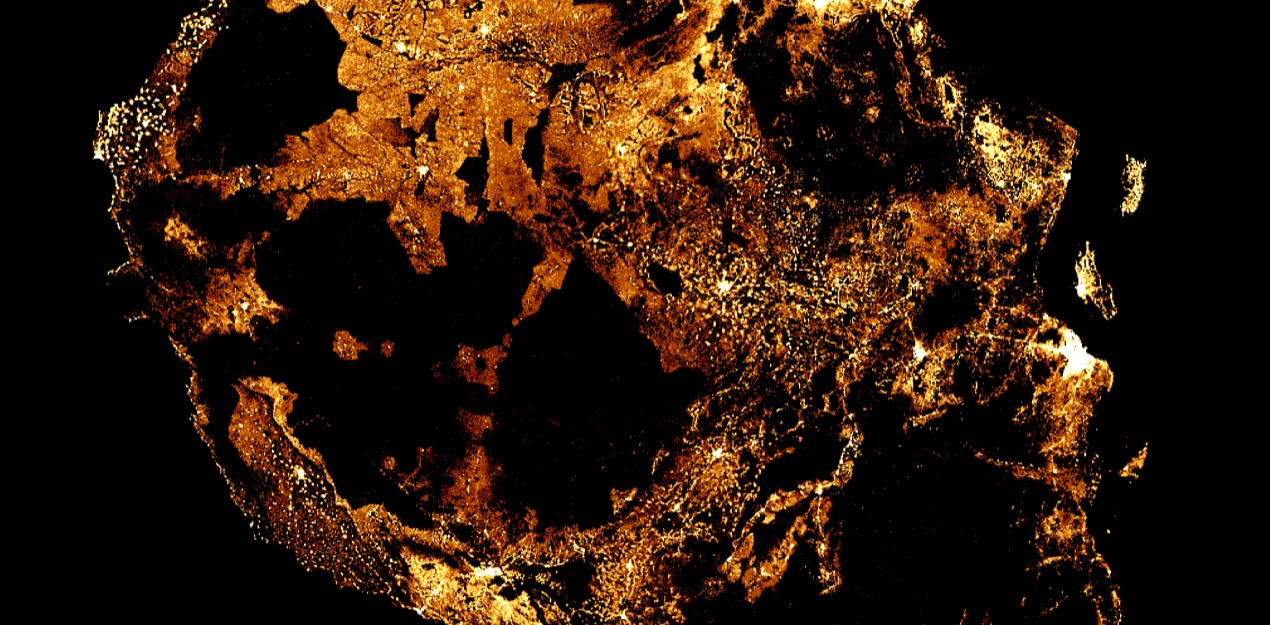
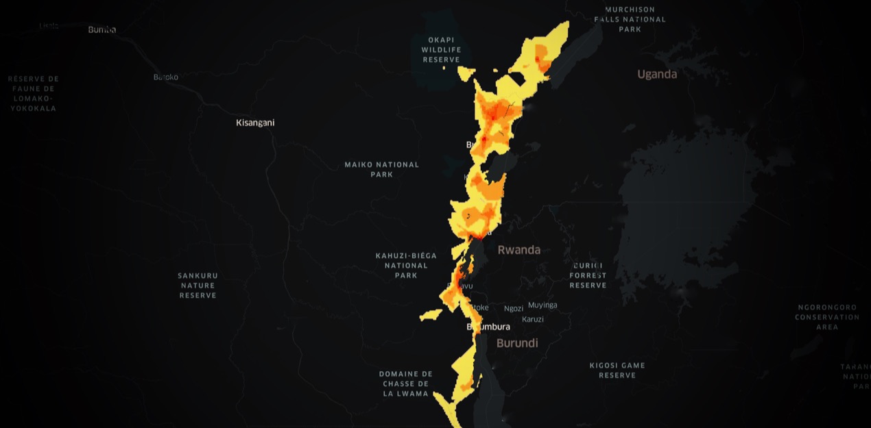
Disease Prevention Map
Mapping the pathways of an epidemic
Facebook Disease Prevention Maps are designed to help public health organizations close gaps in understanding where people live, how people are moving, and the state of their cellular connectivity, in order to improve the effectiveness of health campaigns and epidemic response. These datasets, when combined with epidemiological information from health systems, assist nonprofits in reaching vulnerable communities more effectively and in better understanding the pathways of disease outbreaks that are spread by human-to-human contact.
All maps that use Facebook data are aggregated, and privacy-preserving measures are applied. Movement Maps and Network Coverage Maps are derived from Facebook data that is global in nature. Our Disease Prevention Maps can be generated quickly as the situation on the ground unfolds. This allows agencies to respond to changing circumstances.