AWARD YEAR
2021
CATEGORY
Work
GOALS
Zero Hunger, Decent Work & Economic Growth, Balance Human & Artificial Intelligence
KEYWORDS
agriculture, artificial intelligence, AI, farming
COUNTRY
Belarus
DESIGNED BY
OneSoil
WEBSITE
https://onesoil.ai/en/
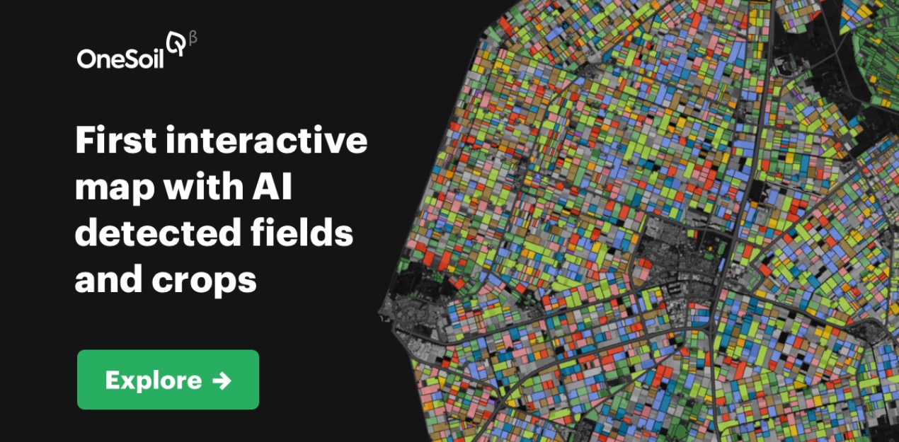
OneSoil
Agricultural decisions with AI
To make farming simple, we analyze satellite images with machine learning technologies. For free. Get to know the field in seconds and take informed actions with the OneSoil platform.
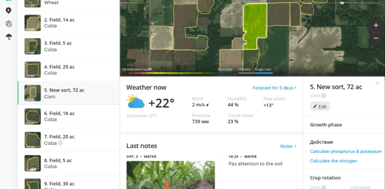
Control plants, leave notes, check the weather and calculate nitrogen, phosphorus and potassium fertilizer rates in the free OneSoil platform. All you need is Internet access — the rest we do ourselves.
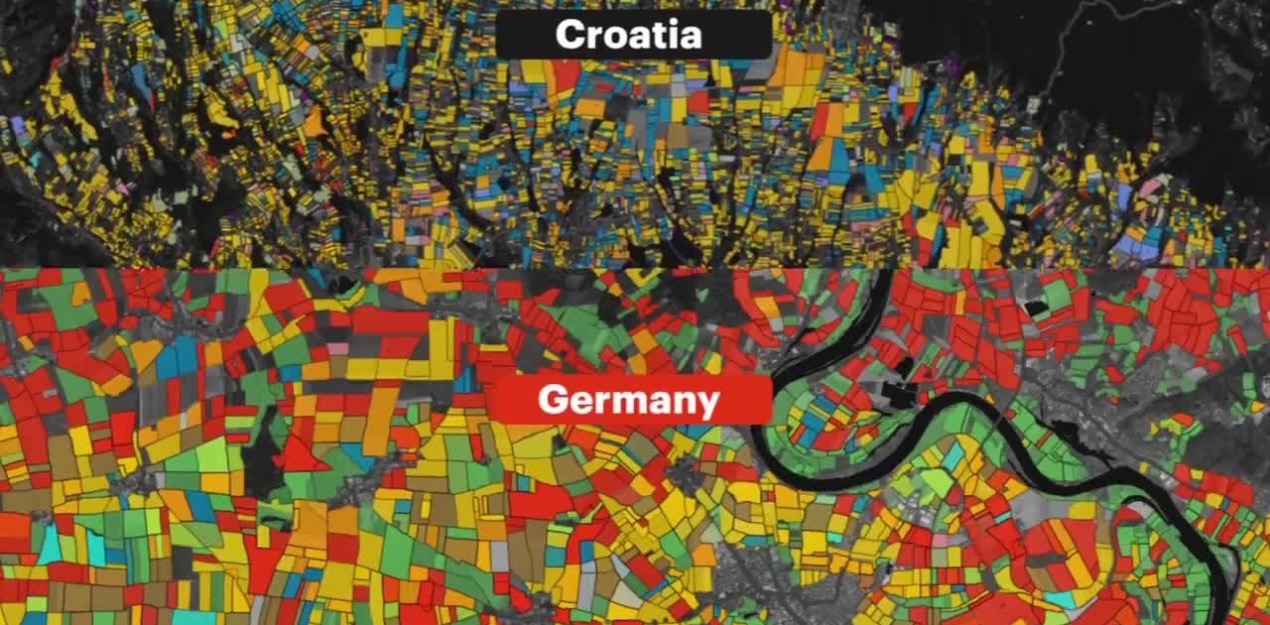
We analyze the satellite imagery of the field to identify artifacts on it so that we can use images without them in future processes. This stage is necessary for the correct work of the entire platform because only clean pictures allow you to properly estimate field characteristics.
With the app, you can find your field on the map, determine variable rates for nitrogen, phosphorus, and potassium, monitor plants and check the weather forecast.