AWARD YEAR
2017
CATEGORY
Work
GOALS
Industry, Innovation & Infrastructure
KEYWORDS
drones, data, environment
COUNTRY
Spain
DESIGNED BY
Aldo Sollazzo, Manager and Chirag Rangholia, Architect, Noumena
WEBSITE
http://atlasofthefuture.org/project/nero-drones/
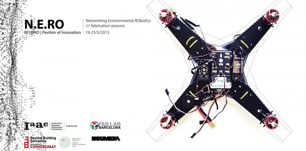
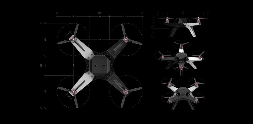
NERO DRONES
Data collecting robots that shoot from the air with a high-resolution camera
Barcelona-based studio Noumena have used their collective backgrounds in design, research and education to develop a data-collecting drone that maps the environmental condition of land. Especially useful for farmers, N-E-R-O (Networking Environmental RObotics) allows them to determine crop health and to identify potential disease outbreaks.
It does this by collecting data from the air, shooting the terrain below with a high-resolution camera that also captures near-infrared pictures. Images are translated into NDVI, an index that measures vegetation density and health by rendering a series of colour scaled images. Users can then differentiate between what is and isn’t plant matter, and what is and isn’t healthy.