AÑO
2021
CATEGORÍA
Comunidad
OBJETIVOS
Industria, innovación e infraestructura, Ciudades y comunidades sostenibles, Refugiados y migrantes
PAL. CLAVE
open source maps, humanitarian crisis
PAÍS
United States of America
CRÉDITOS
https://mapswipe.org/
LINK
https://medium.com/@giscience/mapswipe-analytics-map-each-swipe-and-tap-e4510cf255c9
MapSwipe - put communities on the map
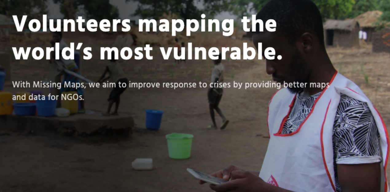
MapSwipe provide open source maps of the parts of the world most at risk of humanitarian crises.
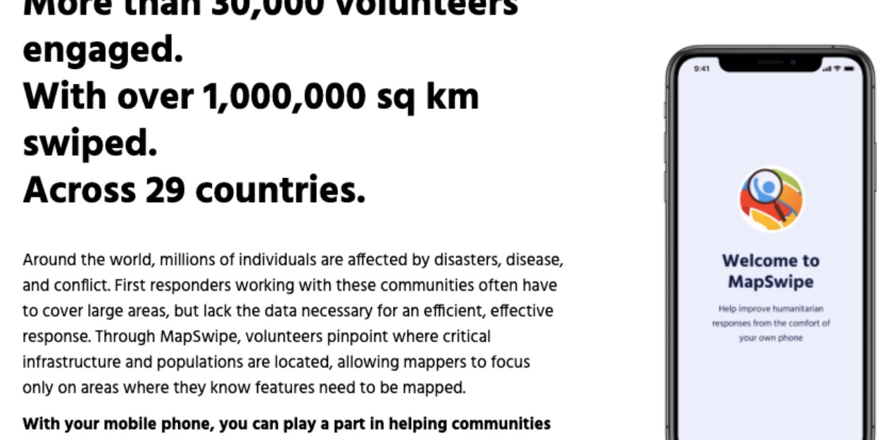
Around the world, millions of individuals are affected by disasters, disease, and conflict. First responders working with these communities often have to cover large areas, but lack the data necessary for an efficient, effective response. Through MapSwipe, volunteers pinpoint where critical infrastructure and populations are located, allowing mappers to focus only on areas where they know features need to be mapped.
