AWARD YEAR
2021
CATEGORY
Community
GOALS
Industry, Innovation & Infrastructure, Navigate Post-Factual Society
KEYWORDS
subway map
COUNTRY
United States of America
DESIGNED BY
The MTA, the transit innovation partners
WEBSITE
https://map.mta.info/
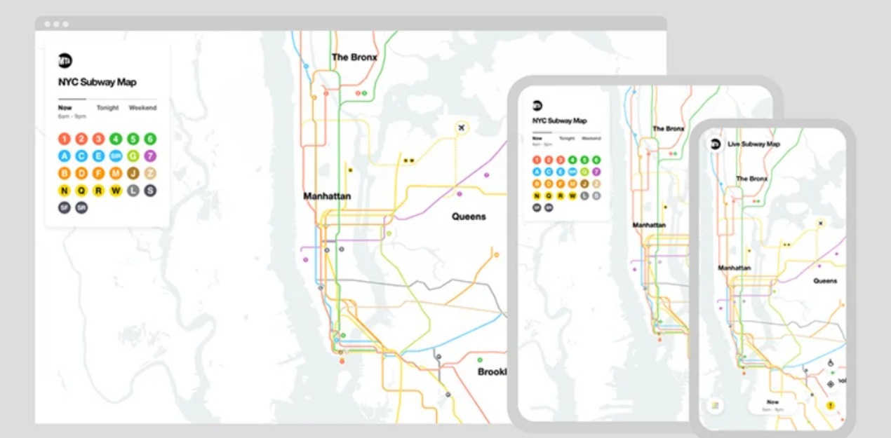
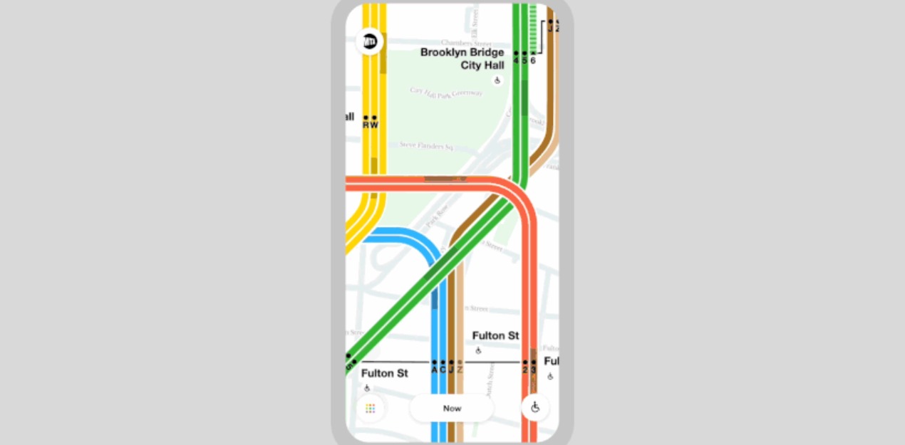
The MTA’s new live subway map
A live new york subway map to show trains moving in real-time
The metropolitan transportation authority (MTA) has launched a live digital map that lets users navigate the new york subway system in real-time. The ambitious project marks the subway map’s first major redesign in four decades, replacing the design by unimark international and michael hertz associates seen widely on printed maps today. The live map seeks to merge the best features of the existing printed map with massimo vignelli’s approach by overlaying clear and detailed track routes atop a geographically-correct street grid that becomes more detailed as the user zooms in. The new map, which allows riders to plan trips more easily by taking into account service changes and seeing train movements as they happen, is the byproduct of an 18 month-long, public-private partnership between the MTA, the transit innovation partnership, and brooklyn-based global design and technology firm work & co.