
AWARD YEAR
2021
CATEGORY
Community
GOALS
Life Below Water, Life On Land, Partnerships for the Goals
KEYWORDS
biodiversity, conservation, mapping, nature protection
COUNTRY
United States of America
DESIGNED BY
UN Environment & UNDP
WEBSITE
https://unbiodiversitylab.org/index.html
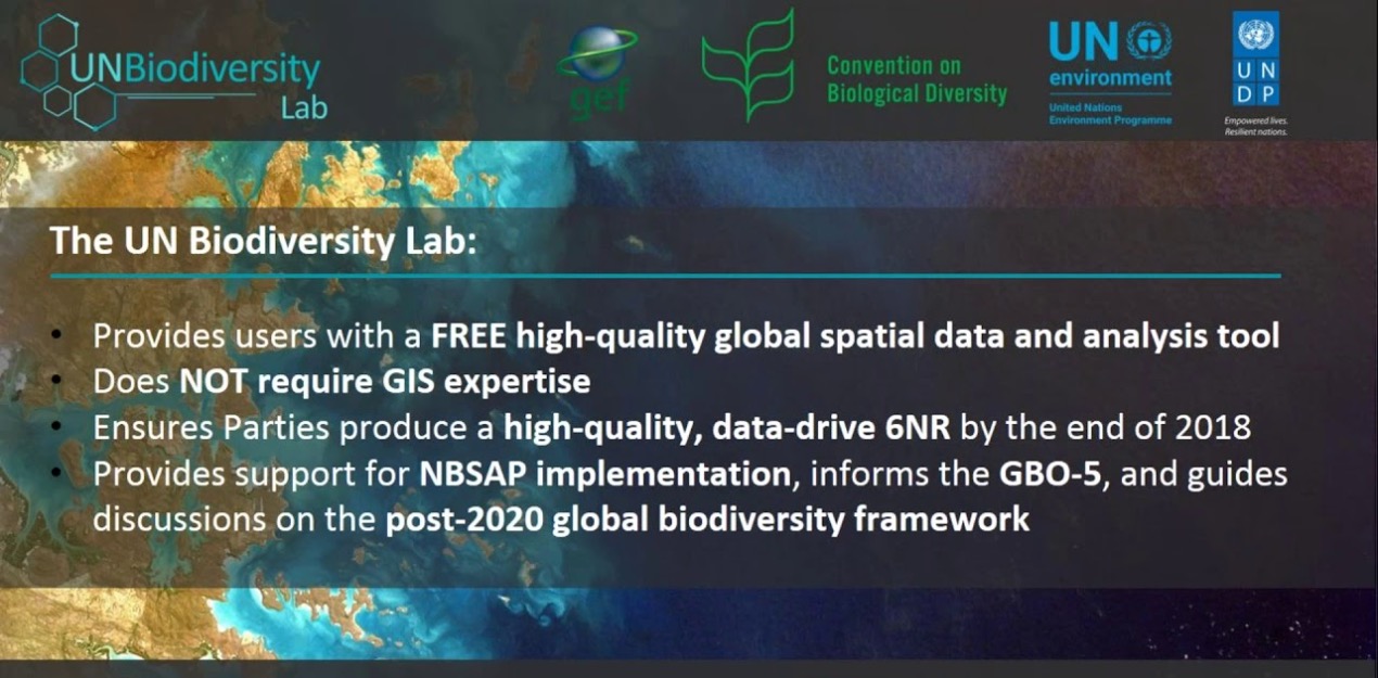
UNBiodiversity Lab
Giving governments data to protect nature and biodiversity
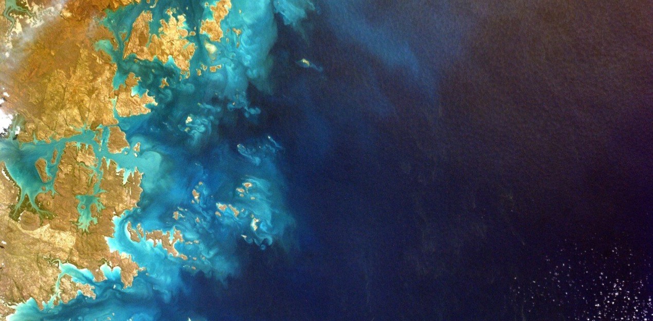
As we enter the fourth industrial revolution, technology is revolutionizing our ability to map nature. Satellite data provide a bird’s eye, yet incredibly detailed view of the Earth’s surface in real-time, while drones and mobile apps enable local communities and indigenous peoples to map their knowledge of local ecosystems. Spatial data empowers governments to make well-informed decisions to ensure that nature is not left behind in the information age. Through a partnership between the UNDP and UN Environment, the UN Biodiversity Lab will work closely with national governments to provide every country with the best available spatial data to make informed conservation decisions.
The UN Biodiversity Lab is not just another website; it is a platform for building partnerships among data providers and data users to ensure that governments have access and capacity to use cutting-edge spatial data to make key conservation and development decisions.