
AWARD YEAR
2017
CATEGORY
Community
GOALS
Industry, Innovation & Infrastructure
KEYWORDS
Google Earth , crowdsourcing
COUNTRY
Sweden
DESIGNED BY
Jan Erik Solem, Johan Gyllenspetz, Peter Neubauer, Mapillary
WEBSITE
https://www.mapillary.com/
Mapillary
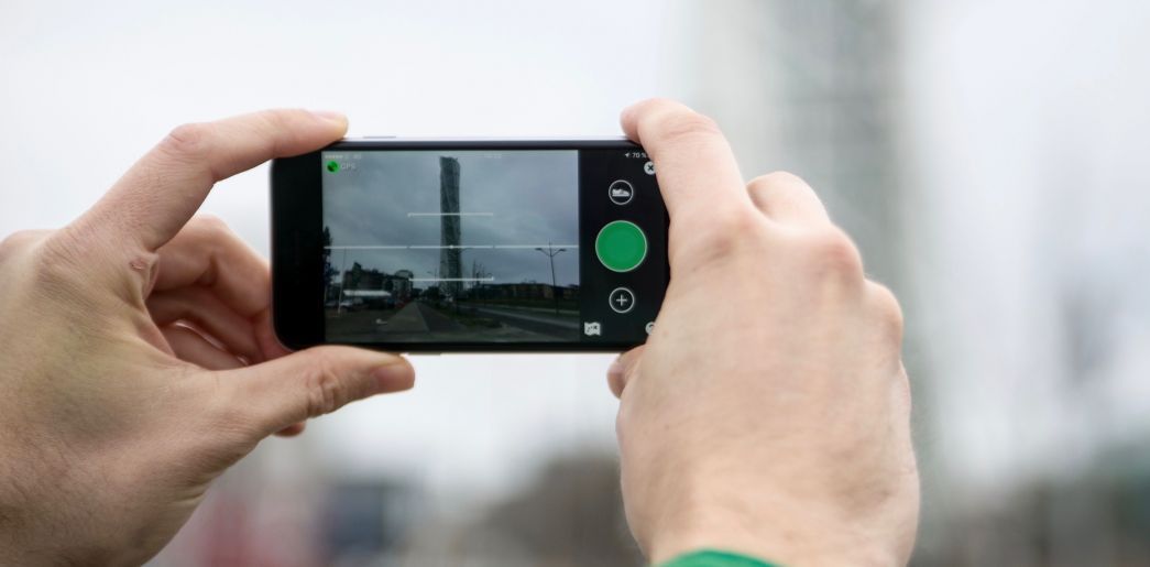
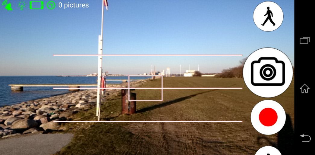
App making it possible to turn your own digital pics into immersive, shareable 3D maps,
Exploring the furthest corners of the Earth via Google’s proprietary Street View has become second nature for online travelers. Now Mapillary wants to give IRL adventurers (and locals) the opportunity to turn their own digital pics into immersive, experiential, fully shareable 3D maps via an easily navigable app. This crowdsourced approach has already collected more than 50 million photos from thousands of individual contributors on every continent, which the company processes with computer vision techniques to nab the geospatial data needed to produce these dynamic, ever-evolving records of the vast world we live in. Bonus: In addition to giving users a thrill, Mapillary offers new avenues for urban planning, transportation safety, disaster response, and conservation in areas where the budget for this kind of on-the-ground documentation doesn’t exist.