
AWARD YEAR
2015
CATEGORY
Community
GOALS
Peace, Justice & Strong Institutions
KEYWORDS
Citizen Involvement, Livable environments, Children’s right
COUNTRY
Norway
DESIGNED BY
The Norwegian Centre for Design and Architecture: Ingvil Hegna Aarholt, Karoline Birkeli-Gauss, Hege Maria Eriksson / Bengler AS: Even Westvang / University of Oslo, Center for Natural Science: Ole Edvard Grov
WEBSITE
http://www.norskform.no/barnetrakk
Children's Paths
A tool for involving children in planning to secure better and healthier urban environments
Norwegian planning authorities know how the moose move and where salamanders thrive, but not where children play, or if their routes to school are safe. This result in undemocratic decisions when developing urban environments.
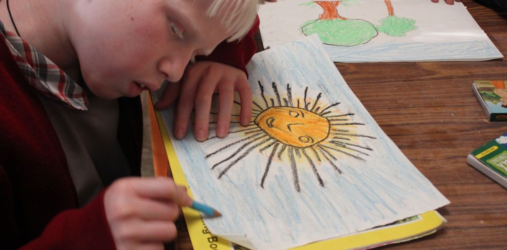
‘Children’s paths’ is one solution to this challenge. An online, digital tool allowing children to participate in city planning and community development to create better and more inclusive environments and urban spaces. The children map their out-door behaviour into existing municipal geographic information systems and are given a voice in urban planning. Schoolclasses do the mapping as a part of democracy teaching. The children individually register their route to school and describe how they use their neighborhood by using activity icons, for good, bad, dangerous, etc., and open text comments. The results are mappings and reports, which the planning offices integrate in GIS-systems to use on all planning levels, in regulation as well as in decision-making.